
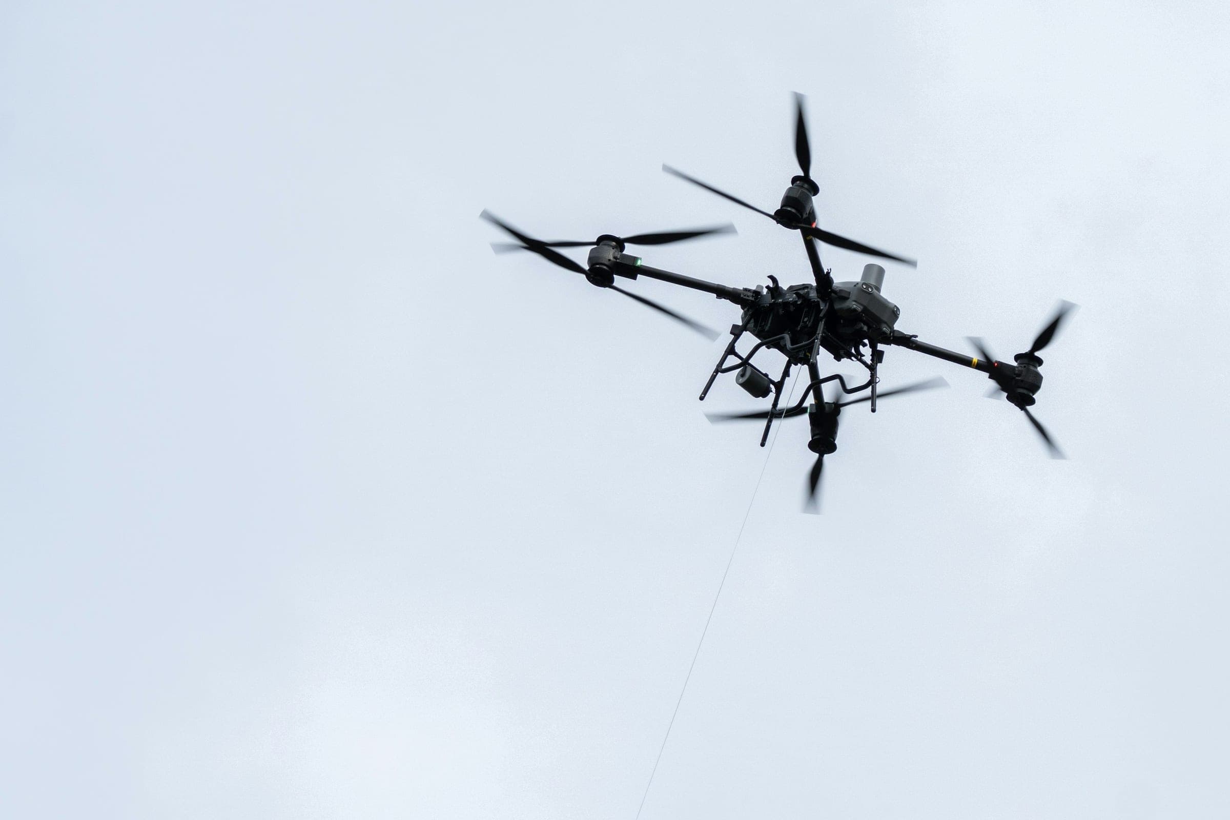
Capability 01 · Drone software
Fly, plan and sustain every drone.
Drone software for armed forces and security agencies that operate drones of different makes and need one station to fly them, one tool to plan their missions and one record to keep the fleet ready.
For
- Army and special forces units
- Air forces and navies
- Border guards and security agencies
01Challenges
Operational challenges
What gets in the way in the field, and how Skyrivet addresses it.
- 01
Every drone arrives with its own ground station.
Skyrivet Command controls different drones from one station, so operators learn one interface instead of several.
- 02
Missions are planned on paper and in separate tools.
Skyrivet Plan brings routes, airspace and known threats into one plan that can be rehearsed before take-off and reviewed after landing.
- 03
Nobody has a full view of the fleet's readiness.
Skyrivet Fleet keeps airframes, batteries, payloads and maintenance in one record, so commanders know what can fly today.
- 04
Every new sensor becomes a new integration project.
The Skyrivet Payload SDK lets a payload be integrated once and used across different platforms.
01Platform
One platform, open by design.
Four products that share one data model and one interface. They work together or on their own, from a single drone team up to a drone unit.
Products
- Skyrivet Command
- Skyrivet Plan
- Skyrivet Fleet
- Skyrivet Payload SDK
Interoperability
Designed to work with STANAG 4586 for vehicle control, STANAG 4609 and MISB metadata for video, and Cursor-on-Target, so positions and observations reach TAK devices and command systems.
Deployment
Runs on rugged laptops in the field, on servers in the operations center or on sovereign cloud, including on networks with no internet connection.
Security
Role-based access, encryption of data in transit and at rest, and an audit log of operator actions.
01Use cases
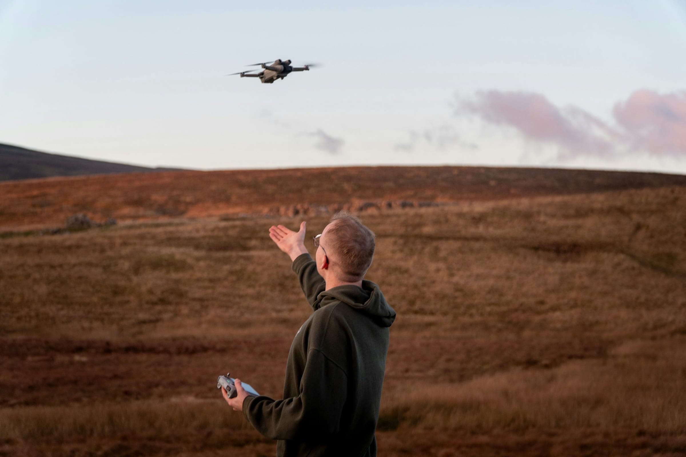
Use cases
How units use Skyrivet software in real missions.
 01 / 03
Tactical reconnaissance
Scenario
A platoon needs to see beyond the next ridge before it moves. The drone has to be in the air within minutes, and its video has to reach the commander, not only the pilot.
How Skyrivet is used
- The route and no-fly areas are prepared in Skyrivet Plan.
- The operator flies and streams video with Skyrivet Command.
- Positions and observations are shared with TAK devices in the unit.
- The recorded flight is used for the debrief.
 02 / 03
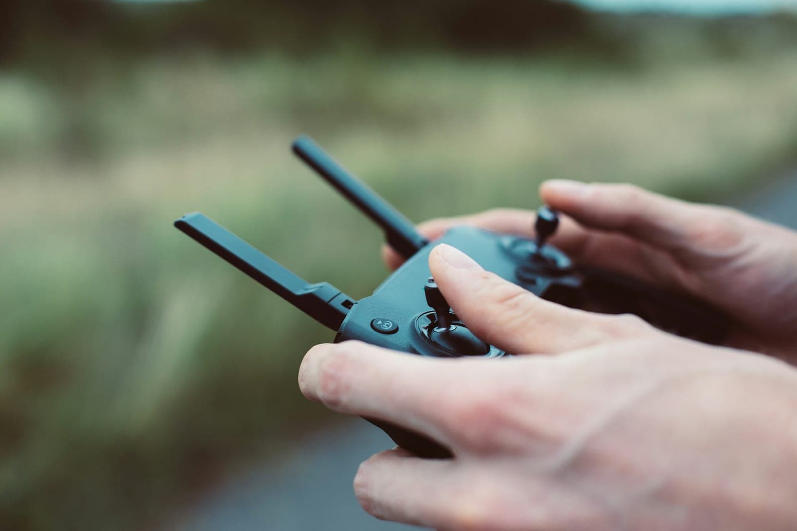
Border surveillance
Scenario
Long stretches of border are watched day and night by a few teams, with drones flown in shifts. Each shift has to pick up where the previous one ended.
How Skyrivet is used
- Patrol routes are planned once and reused for every shift.
- Flight logs and open observations pass from shift to shift.
- Skyrivet Fleet tracks battery cycles and maintenance between patrols.
- Detections are passed to the operations center as they happen.
 03 / 03
Fleet readiness
Scenario
A drone unit operates dozens of aircraft from different suppliers, each with its own payloads and maintenance schedule.
How Skyrivet is used
- Every airframe, battery and payload is recorded with its configuration.
- Maintenance is planned from flight hours and cycles, not from memory.
- Airworthiness records are kept for every aircraft.
- Commanders see at a glance which systems are ready to fly.
01Products
Products
- 01
Skyrivet Command
Ground control station for one or more drones: flight control, telemetry, live video and link management in one interface.
- For
- Drone operators and pilots in land, air and maritime units.
- Key integrations
- STANAG 4586, STANAG 4609 / MISB, Cursor-on-Target.
- 02
Skyrivet Plan
Mission planning, rehearsal and debriefing: routes, geofences, airspace and known threats on a 3D map.
- For
- Mission planners and unit commanders.
- Key integrations
- Digital terrain and map data, airspace data, Skyrivet Command.
- 03
Skyrivet Fleet
Fleet and sustainment management: inventory, configurations, flight hours, batteries, maintenance and airworthiness records.
- For
- Maintenance teams, logistics and unit commanders.
- Key integrations
- Flight logs from Skyrivet Command, export to logistics systems.
- 04
Skyrivet Payload SDK
Software development kit to integrate payloads such as EO/IR cameras, signals intelligence sensors and radio relays, once, across platforms.
- For
- System integrators and the technical teams of armed forces.
- Key integrations
- MISB / KLV metadata, open architecture interfaces.
Why Skyrivet
Why Skyrivet
- 01
Built for defense
Skyrivet builds software only for defense and security users. Interfaces, workflows and documentation are designed for operators under pressure, not adapted from consumer products.
- 02
Modular
Each product works on its own and with the others. Start with the module you need and add the rest when the mission calls for it.
- 03
Open integration
Designed to work with open defense standards and documented interfaces, so Skyrivet software fits the sensors, vehicles and command systems you already have.
- 04
Your infrastructure, your data
The software runs on your own servers, on sovereign cloud or at the edge. Mission data stays on infrastructure you control.
- 05
Quick to deploy
Packaged to install on standard servers and rugged laptops, with operator training included, so units can move from evaluation to use without a long integration project.
01Who uses it
Who uses it
Land forces
Reconnaissance with small drones at platoon to brigade level.
Air forces and navies
Larger drones, shipborne operations and airspace coordination.
Special forces
Discreet operations where speed and a simple interface matter most.
Border guards and security agencies
Long patrols in shifts and surveillance of critical areas.
Frequently asked questions
Which drones can Skyrivet Command control?
Drones whose control link follows STANAG 4586, and drones for which an integration exists. For any other platform, we assess the integration effort together during the first call.
Does it work without an internet connection?
Yes. All products can run on a local network or on a single laptop with no connection to the internet.
Can we start with one product?
Yes. Each product works on its own. Most teams start with Skyrivet Command or Skyrivet Plan and add the others later.
Is the software available in our country?
Availability depends on export control rules for each country and end user. We confirm it for your organization during the first call.
Next steps
Request a demo of our drone software.
Tell us about your organization and your mission. We reply to every request and propose the next step.
Request a demoPrefer email? Write to hello@skyrivet.it
We can sign a non-disclosure agreement before you share sensitive requirements.
Do not include classified or sensitive information in your request.
- 1
Introductory call
A first call of 30 to 45 minutes about your mission, the systems you use today and your constraints.
- 2
Tailored demonstration
A demonstration of the relevant products on scenarios close to yours.
- 3
Pilot evaluation
If there is a fit, a pilot plan with scope, success criteria and timeline, agreed with your team.
02Next capability area
Counter‑drone software
Software that helps detect, track and respond to hostile drones, to protect people, sites and operations.
All capabilities